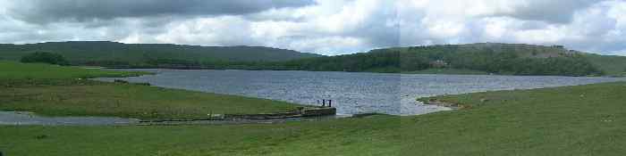
Three
miles (5km) north of Malham Village is Malham Tarn, a small lake half a
mile (800m) across and home to a rich variety of wildlife and water
fowl. The tarn was enlarged in the late 18th century by Lord
Ribblesdale IV who built a dam.
At
377 metres (1237 feet) above sea level Malham Tarn is the highest lake
in England and is one of only eight alkaline lakes in Europe with a PH
value of between 8.0 and 8.6.
Malham
Tarn is very shallow with an average depth of 2.4 metres (less than 8
feet) and 4.4 metres (14 feet) at it's deepest. The outflowing stream
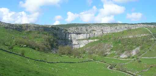
disappears underground, re-emerging downstream of Malham Cove as the
source of the River Aire.
Malham
Tarn is part of the Malham Tarn Estate which is owned by the National
Trust who leases part of the site to the Field Studies Council. The
Field Studies Centre offers residential and non-residential courses in
a large Georgian country house nearby.