| Population: <100 | Grid Reference: NY890010 | Co-ordinates: 54.405, -2.168 |
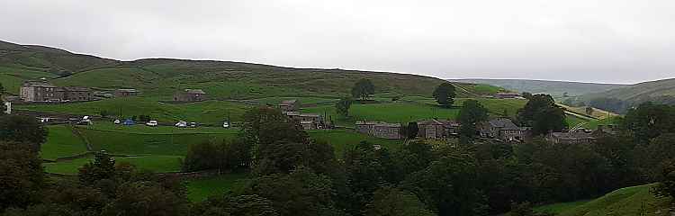
Keld is the westermost and highest village in Swaledale. It is at the crossing point of the Pennine Way and Coast to Coast walks. There are several buildings of note here, the Congregational and Methodist chapels, the school and the Literary Institute.
 |
Keld
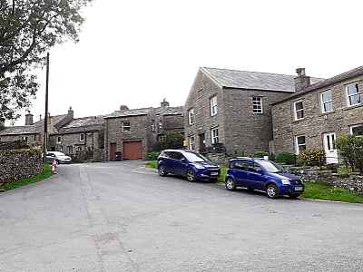
Youth Hostel closed in 2008 and the building was converted to a hotel
with a bar and restaurant, giving the village it's first pub since the
closure of the Cat Hole Inn in 1948. A small tea room and shop is open during the high season and during the winter there is a volunteer run self-service café in the village hall. The Keld Resource Centre maintains several listed buildings in the village and is also responsibe for the Well-Being Garden which is in the chapel churchyard. The Keld Countryside and Heritage Centre opened in 2011 and provides interpretation of the local countryside and history of Keld. About a mile (1.6km) east of Keld is Crackpot Hall, a ruined 18th century farmhouse which may have served as offices at one time for the local lead mines and is now preserved by the Gunnerside Estate and the Yorkshire Dales National Park Authority. Keld Village Centre |
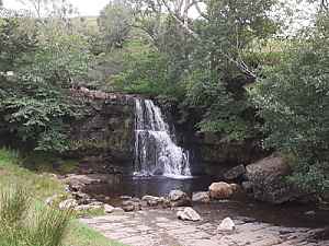 Catrake Force |
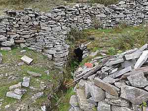 Jammy Milner's Level |
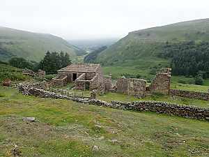 Crackpot Hall |